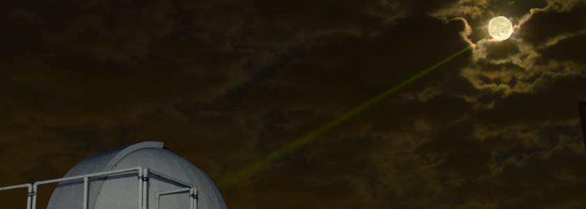

Complete Dataset from the Apache Point Lunar Laser Ranging Station Released
04/17/2024 In February 2024, NASA published a set of normal points from the Apache Point Lunar Laser Ranging Station to the NASA Crustal Dynamics Data Information System (CDDIS) spanning the entire operations of the station, April 2006 through mid-January 2024. This timespan includes data prior to NASA taking over stewardship of the station that was not previously released in part due to ongoing development of software related to the Absolute Calibration System (ACS) that was installed in late 2016. NASA stewardship of the station helped continue and complete the ACS software development, which prompted a re-processing of all the data to improve its accuracy.
The Navy and NASA are jointly preparing an Environmental Impact Statement (EIS) for state lands at PMRF and KPGO
12/15/2023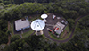 The Navy and NASA are jointly preparing an Environmental Impact Statement (EIS) to evaluate the potential impacts of real estate agreements with the State of Hawai'i, Department of Land and Natural Resources (DLNR) for state lands at PMRF and KPGO. The Navy and NASA encourage the public to participate in this environmental review process. The Navy and NASA will be initiating a public scoping period and holding public meetings in early 2024. The public can participate during the public scoping period by providing input on the proposed real estate action and issues to be considered in development of the EIS.
View fact sheet
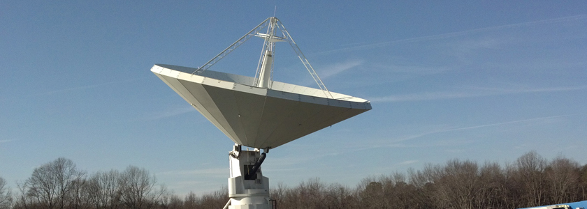
NASA Laser Reflecting Instruments to Help Pinpoint Earth Measurements
12/08/2023 The best known use of GPS satellites is to help people know their location whether driving a car, navigating a ship or plane, or trekking across remote territory. Another important, but lesser-known, use is to distribute information to other Earth-viewing satellites to help them pinpoint measurements of our planet.
NASA and several other federal agencies, including the U.S. Space Force, U.S. Space Command, the U.S. Naval Research Laboratory, and the National Geospatial-Intelligence Agency are improving the location accuracy of these measurements down to the millimeter with a new set of laser retroreflector arrays, or LRAs.
"The primary benefit of laser ranging and LRAs is to improve the geolocation of all of our Earth observations," said Stephen Merkowitz, project manager for NASA's Space Geodesy Project at NASA's Goddard Space Flight Center in Greenbelt, Maryland.
Read more on nasa.gov...
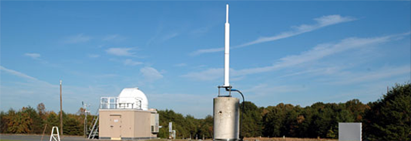
The National Geodetic Survey posts the results of their May 2023 local tie survey at the NASA Kōkeʻe Park Geophysical Observatory (KPGO)
10/26/2023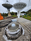 The National Geodetic Survey posted the results of their May 2023 local tie survey at the NASA Kōkeʻe Park Geophysical Observatory (KPGO). The survey establishes high-precision local tie vectors between the geodetic stations and their associated reference marks. Data collection consisted of terrestrial observations with an absolute laser tracker system, a total station, and survey-grade GNSS instrumentation. The local relationships were aligned to the International Terrestrial Reference Frame at the epoch date of the survey, ITRF2020 (2023/05/13). The survey results, report, and SINEX file are available at the NGS website: https://www.ngs.noaa.gov/corbin/iss/index.shtml.